


1
Chimney Rock
Loading destination. Pulling the current destination verdict. This detail route is still resolving live conditions, scoring evidence, and fallback guidance.

North Coast
01 · The call
Good with cautionWhy now
Spring grass is green.
Watch out
North Beach and North Beach Road temporarily closed to visitors.
Plan B
Keep the trip anchored around Point Reyes Station with a shorter loop through Point Reyes Station and Chimney Rock.
Why now
Spring grass is green.
Watch out
North Beach and North Beach Road temporarily closed to visitors.
Plan B
Keep the trip anchored around Point Reyes Station with a shorter loop through Point Reyes Station and Chimney Rock.
02 · The story
west marin coast guide
Point Reyes is not one compact viewpoint.
west marin coast guide
Point Reyes is not one compact viewpoint.
Field notes
Sneaker waves and rising tide. Sneaker waves can run farther up the beach than the last few waves suggested, especially when people are taking photos near the water.
Bluff edges move. Point Reyes cliffs and bluffs can crumble or slide, especially after rain.
03 · Highlights
04 · The window
05 · The conditions
Current weather
69F day, 54F night
1% chance of rain
8 mph wind
Nearest towns: Monterey · San Francisco
Updated Aug 23, 2026, 12:12 PM
06 · On the ground
Access
Road and weather data checked Aug 23, 2026, 12:12 PM
Official alerts
Last checked
Aug 23, 2026, 12:12 PM
Point Reyes National Seashore has temporarily closed North Beach after a fishing vessel ran aground early on Friday, August 21st. No injuries or fuel leaks have been reported, and the National Park Service is coordinating with the U.S. Coast Guard, NOAA and Marin County Fire as the Coast Guard works to secure a contractor to remove fuel from the vessel. Visitors are asked to stay clear of North Beach while the closure remains in effect to allow first responders to work safely and without interference.
Bridge Construction is affecting north / southbound travel on SR-1 from Point Reyes Station to Point Reyes Station. Long Term closure pattern. Estimated delay is about 5 minutes.
Next step
Chimney Rock

Elephant Seal Overlook
Limantour Beach

Point Reyes Beach North

Tomales Point
Selected stop
Limantour Beach
The easier beach reset: wider, calmer, and better for mixed groups than a pure exposed-headlands day.
On the water
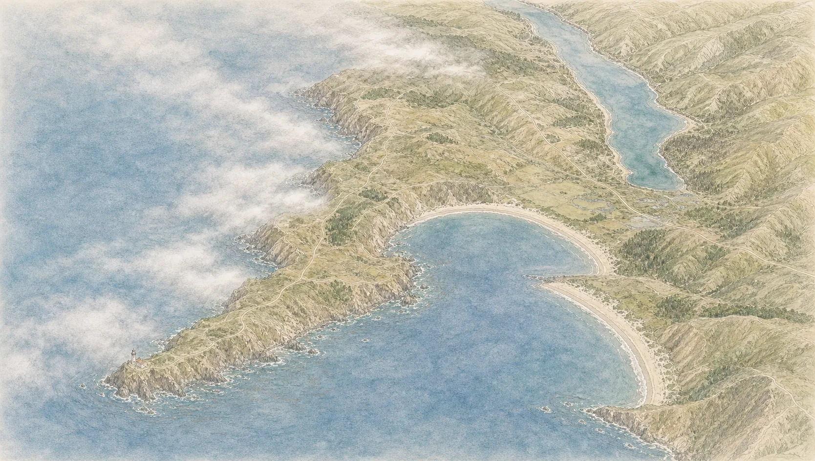
Point Reyes Headland
8 kt · gust 11 · WNW
Drakes Beach
8 kt · gust 9 · W
Drakes Estero
6 kt · gust 7 · W
Outer swell
4 ft @ 9s
On the water
Wind's even along the coast this window — no calm side to pick.
Point Reyes Headland
8 kt · gust 11 · WNW
Drakes Beach
8 kt · gust 9 · W
Drakes Estero
6 kt · gust 7 · W
Outer swell
4 ft @ 9s
PALMER is an active wildfire roughly 17 miles from Point Reyes. Current incident context: Marin County.

North Coast
Fort Bragg Coast