Loading. Pulling the latest trip context. This route is still resolving live conditions, fit scoring, and saved state.
The premise
A recommendation
that can say no.
Most planners only rank. They return a winner and stop.
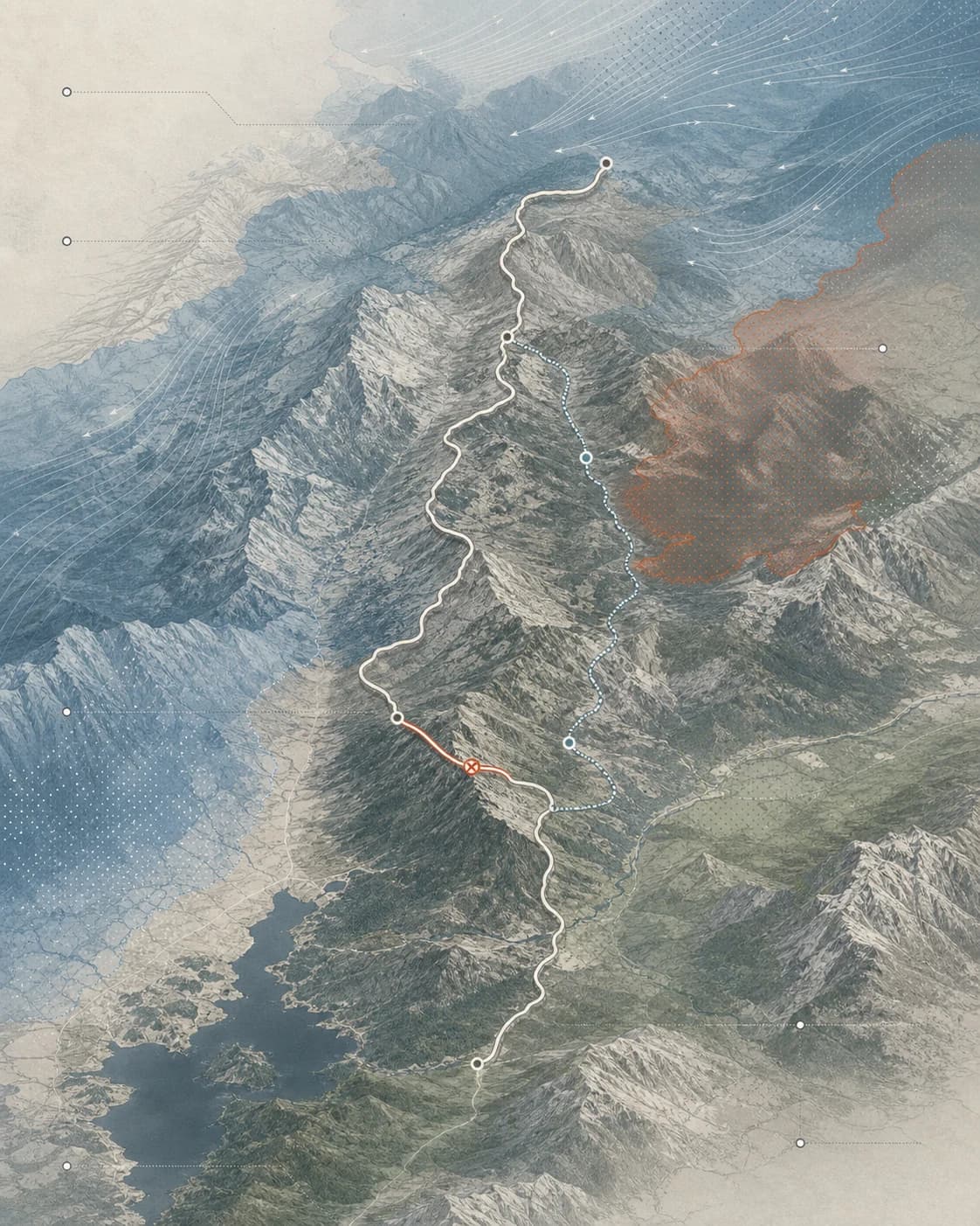
OpenSeason reads the same road, weather and fire feeds a ranger reads. When a drive no longer holds, it says so — and names a nearby alternative that is still open.
How the call gets made
Five bands,
read along the drive.
Conditions arrive in order, along the route — mild at the coast, hardest at the pass. The plate reads left to right as one drive. Where the bands stack worst, the route forks.
- WindNWS
- HeatNWS
- RainNWS
- FireInciWeb · USFS
- Road accessCaltrans · NPS
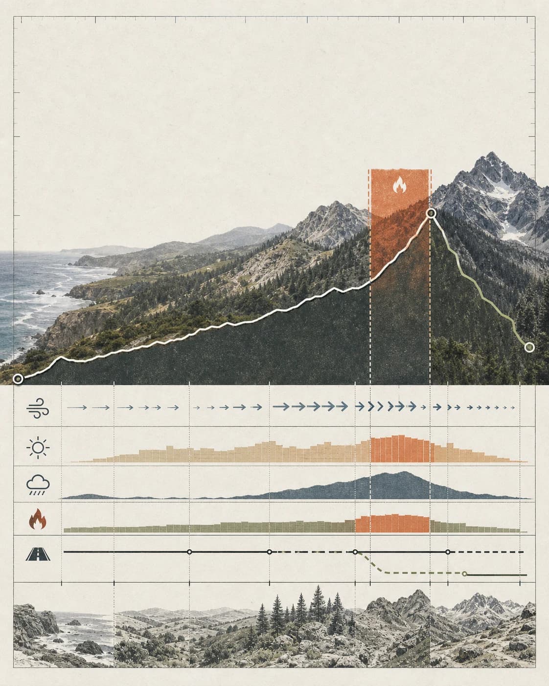
Five bands resolve to one call, and only one stops a trip: block when something is shut, watch when it could turn, clear when the rest is preference. Every destination below carries its own call, read through August 23.
See every call →Now
The full list, in order.
California-wide view. Pick a start city for drive-aware ranking.

Good with cautionNorth Coast
Sonoma Coast
California trip windows
12 coast windows
1 / 4
North Coast
Sonoma Coast
Good now
Best window: Year-round
Why now: Coast is clear
Watch out: Crowds
Gateway: Bodega Bay
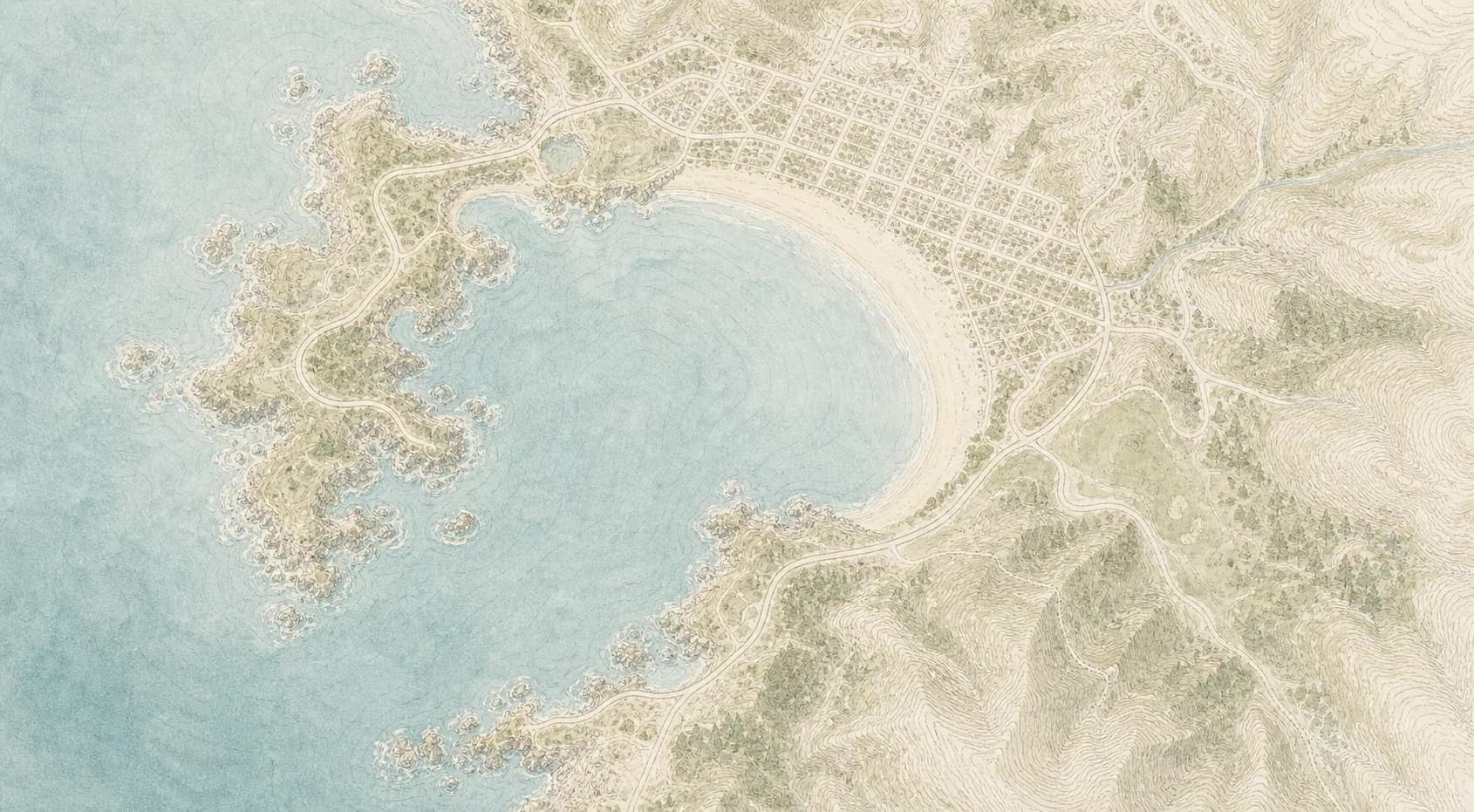
Central Coast
Carmel Beach
Good now
Best window: Year-round
Why now: Carmel Beach and Point Lobos walks
Watch out: Road status
Gateway: Carmel-by-the-Sea
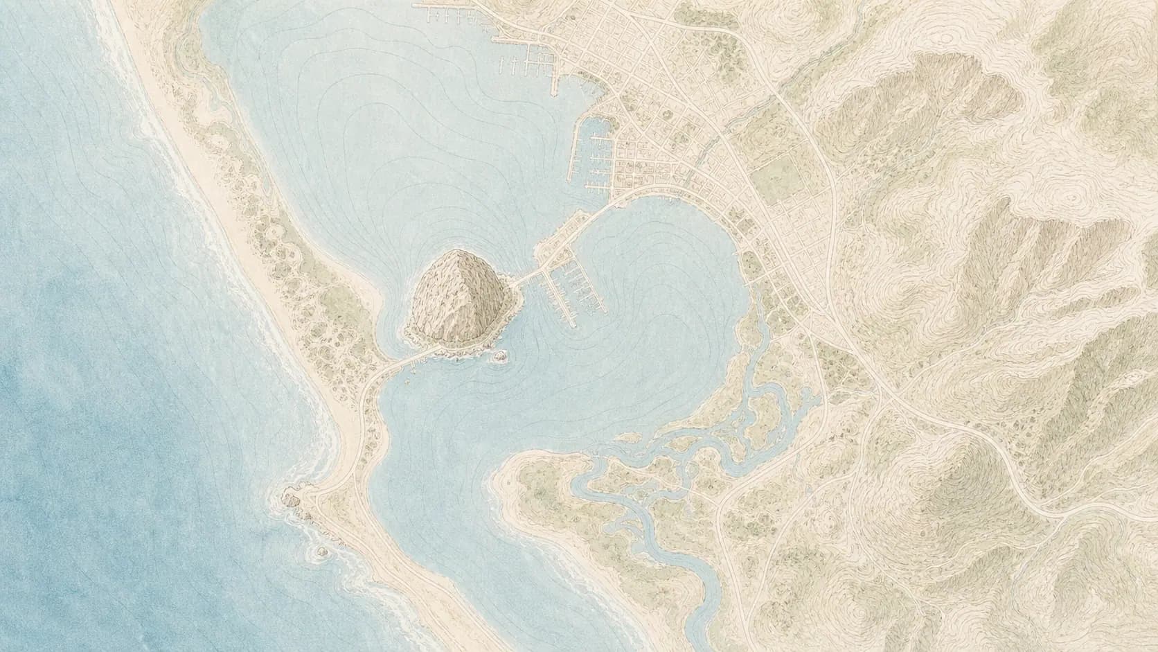
Central Coast
Big Sur Coast
Good now
Best window: Year-round
Why now: Coast is clear
Watch out: Road status
Gateway: Carmel-by-the-Sea
North Coast
Sonoma Coast
Good now
Best window: Year-round
Why now: Coast is clear
Watch out: Crowds
Gateway: Bodega Bay
Central Coast
Carmel Beach
Good now
Best window: Year-round
Why now: Carmel Beach and Point Lobos walks
Watch out: Road status
Gateway: Carmel-by-the-Sea
Central Coast
Big Sur Coast
Good now
Best window: Year-round
Why now: Coast is clear
Watch out: Road status
Gateway: Carmel-by-the-Sea
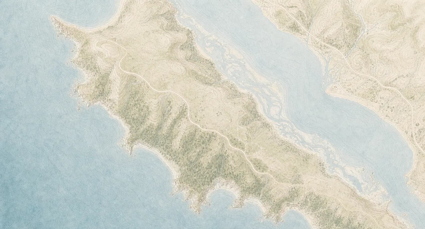
North Coast
Point Reyes
Good now
Best window: Year-round
Why now: Coast is clear
Watch out: Road status
Gateway: Point Reyes Station
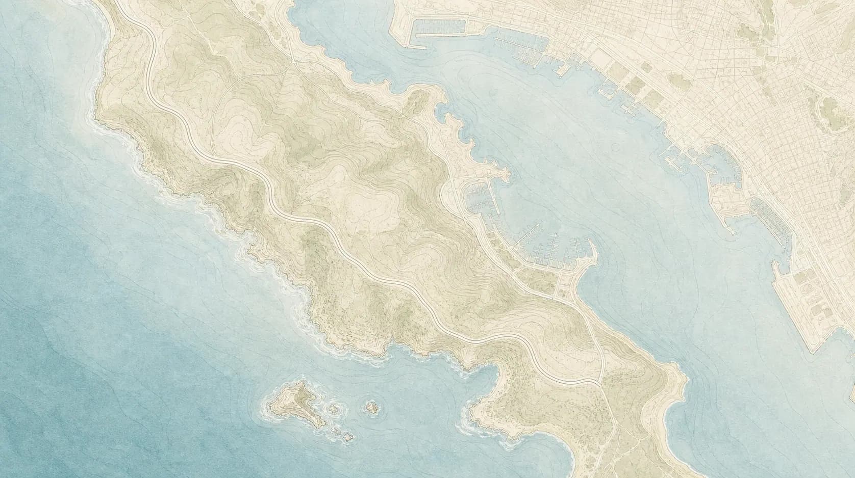
Southern Coast
Cabrillo National Monument
Good now
Best window: Year-round
Why now: Coast is clear
Watch out: Road status
Gateway: Point Loma