
1
Mobius Arch Loop
Loading destination. Pulling the current destination verdict. This detail route is still resolving live conditions, scoring evidence, and fallback guidance.

Eastern Sierra
01 · The call
Not ideal nowWhy now
An off month here — the season window falls elsewhere in the year.
Watch out
US-395 Lane near Lone Pine
Plan B
Base out of Lone Pine and keep the trip to lower-friction stops like Mobius Arch Loop.
Why now
An off month here — the season window falls elsewhere in the year.
Watch out
US-395 Lane near Lone Pine
Plan B
Base out of Lone Pine and keep the trip to lower-friction stops like Mobius Arch Loop.
02 · The story
alabama hills guide
Alabama Hills is the lower, more forgiving companion to Mt. Whitney.
alabama hills guide
Alabama Hills is the lower, more forgiving companion to Mt. Whitney.
Field notes
Exposed heat and snakes. The Alabama Hills and 395 corridor are open and exposed, so sun and heat hit hard with no shade.
03 · Highlights
Mobius Arch Loop
Movie Road
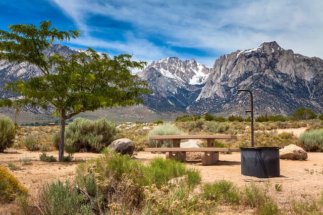
Tuttle Creek Base

Lone Pine Town

Whitney Backdrop
Selected stop
Tuttle Creek Base
A practical foothills base texture that shows how close the low desert sits to the high Sierra wall.
04 · The window
05 · The conditions
Current weather
97F day, 70F night
3% chance of rain
14 mph wind
Heat may shape the day
Updated Aug 23, 2026, 12:12 PM
06 · On the ground
Access
Before you go
Road and weather data checked Aug 23, 2026, 12:12 PM
Official alerts
Last checked
Aug 23, 2026, 12:12 PM
Highway Construction is affecting northbound travel on US-395 from Lone Pine to Lone Pine. Long Term closure pattern.
Highway Construction is affecting southbound travel on US-395 from Independence to manzanar. Long Term closure pattern. Estimated delay is about 0 minutes.
Next step
Across the park
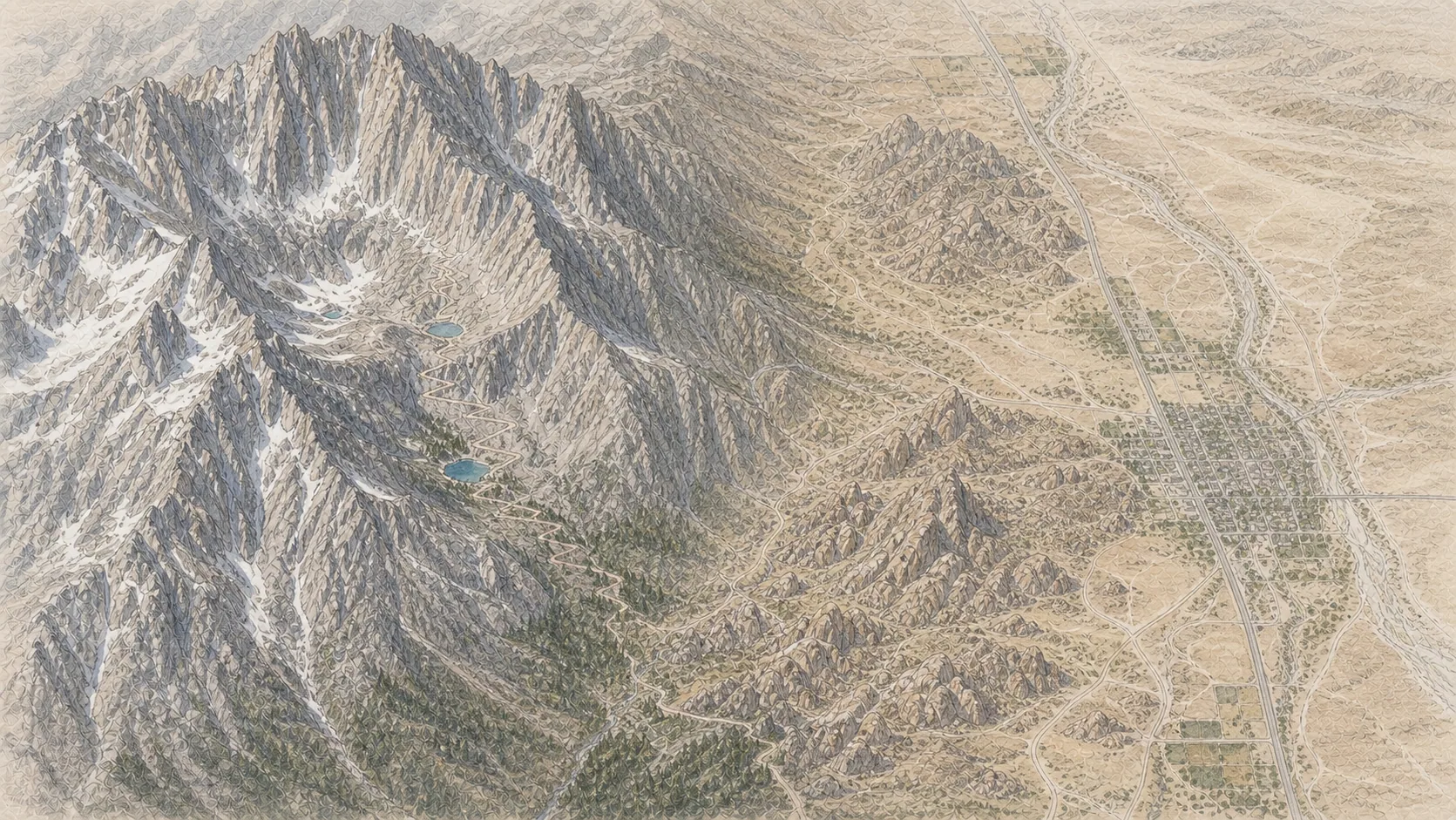
Lone Pine
98° · 3,727 ft
Alabama Hills
95° · 4,500 ft
Whitney Portal
74° · 8,360 ft
Lone Pine Lake
60° · 9,960 ft
Mirror Lake
60° · 10,640 ft
Trail Camp
56° · 12,000 ft
Trail Crest
53° · 13,645 ft
Mt Whitney Summit
46° · 14,505 ft
Across the park
About 52° colder up high — Lone Pine 98°, Mt Whitney Summit 46°.
Across the park · by elevation
Temp · wind
Lone Pine
98° · 3,727 ft
Alabama Hills
95° · 4,500 ft
Whitney Portal
74° · 8,360 ft
Lone Pine Lake
60° · 9,960 ft
Mirror Lake
60° · 10,640 ft
Trail Camp
56° · 12,000 ft
Trail Crest
53° · 13,645 ft
Mt Whitney Summit
46° · 14,505 ft
Lone Pine 98° · Mt Whitney Summit 46° — colder up high.

Southern Sierra
Sequoia National Park

