


1
Manzanita Lake
Loading destination. Pulling the current destination verdict. This detail route is still resolving live conditions, scoring evidence, and fallback guidance.
North State
01 · The call
Mixed conditionsWhy now
One of the better months for hydrothermal stops + volcano viewpoints here.
Watch out
Juniper Lake Campground Closed
Plan B
Keep the trip anchored around Mineral or south-entrance stay with a shorter loop through Manzanita Lake and Sulphur Works.
Why now
One of the better months for hydrothermal stops + volcano viewpoints here.
Watch out
Juniper Lake Campground Closed
Plan B
Keep the trip anchored around Mineral or south-entrance stay with a shorter loop through Manzanita Lake and Sulphur Works.
02 · The story

volcanic park guide
Lassen is not just a mountain park.
volcanic park guide
Lassen is not just a mountain park.
Field notes
Stay on thermal boardwalks. At Sulphur Works, Bumpass Hell, and other thermal areas, stay on the boardwalks and trails.
03 · Highlights
04 · The window
05 · The conditions
Current weather
71F day, 48F night
2% chance of rain
9 mph wind
Nearest towns: Truckee · Mount Shasta City
Updated Aug 23, 2026, 12:12 PM
06 · On the ground
Access
Before you go
Road and weather data checked Aug 23, 2026, 12:12 PM
Official alerts
Last checked
Aug 23, 2026, 12:12 PM
The Juniper Lake Campground and day use area is currently closed for maintenance and campground improvement projects. Potable water is not available in the campground. The Juniper Lake Road (access to lake and trailheads) is open. Please drive with caution as road crews and contractors may be actively working along the roadway.
Next step
Manzanita Lake
Sulphur Works

Bumpass Hell Trail

Lassen Peak Scenic Vista

Devastated Area
Selected stop
Bumpass Hell Trail
The signature hydrothermal hike when snow has cleared, with a real trail commitment and limited parking.
Across the park
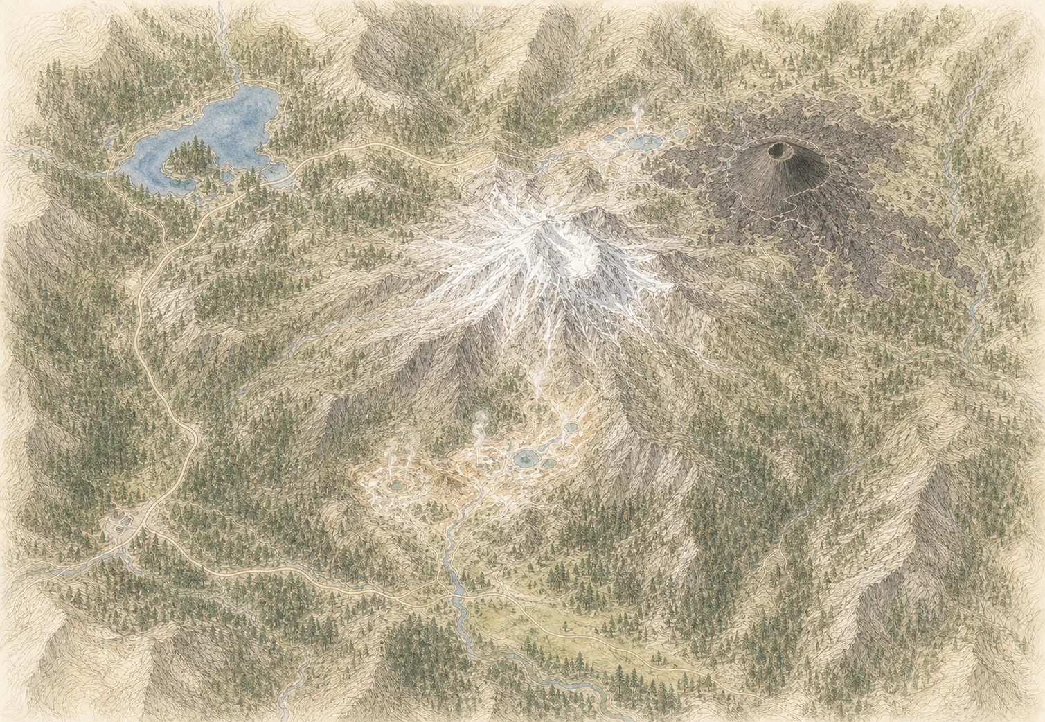
Lassen Peak
57° · 10,457 ft
Bumpass Hell
64° · 8,150 ft
Cinder Cone
75° · 6,907 ft
Kohm Yah-mah-nee
72° · 6,700 ft
Manzanita Lake
77° · 5,890 ft
Warner Valley
77° · 5,600 ft
Across the park
About 20° colder up high — Manzanita Lake 77°, Lassen Peak 57°.
Across the park · by elevation
Temp · wind
Lassen Peak
57° · 10,457 ft
Bumpass Hell
64° · 8,150 ft
Cinder Cone
75° · 6,907 ft
Kohm Yah-mah-nee
72° · 6,700 ft
Manzanita Lake
77° · 5,890 ft
Warner Valley
77° · 5,600 ft
Warner Valley 77° · Lassen Peak 57° — colder up high.
Due to high fire danger, fire restrictions are in effect in all areas of Lassen Volcanic National Park. Building, maintaining, attending, or using open fires, campfires, or stove fires is prohibited, including charcoal. Self-contained propane or petroleum camp stoves are permitted.
3-1 PIT is an active wildfire roughly 32 miles from Lassen Volcanic. Current incident context: Lassen County, 1,055 acres, 98% contained. 4 Miles SE from LITTLE VALLEY, CA
Bug is an active wildfire roughly 90 miles from Lassen Volcanic. Current incident context: Lassen County, 93,733 acres, 94% contained. 4 Miles NW from Cold Springs, NV
Currently, no water is available in the restrooms at the Butte Lake campgrounds. Work is underway to restore it. Pit toilets are available.
The Electric Vehicle charging station is non-functional. There is no timeline for when it may become available. Please plan accordingly.
LOOMIS is an active wildfire roughly 35 miles from Lassen Volcanic. Current incident context: Lassen County, 656 acres, 99% contained. 5 Miles NE from LITTLE VALLEY, CA

Far North Interior
Klamath National Forest