


1
Cayucos Pier
Loading destination. Pulling the current destination verdict. This detail route is still resolving live conditions, scoring evidence, and fallback guidance.

Central Coast
01 · The call
Good with cautionWhy now
Shoulder-season weather keeps the beach and pier useful without summer crowd pressure.
Watch out
SR-1 Lane near Morro Bay
Plan B
Keep the trip anchored around Morro Bay embarcadero with a shorter loop through Cayucos Pier and Cayucos State Beach.
Why now
Shoulder-season weather keeps the beach and pier useful without summer crowd pressure.
Watch out
SR-1 Lane near Morro Bay
Plan B
Keep the trip anchored around Morro Bay embarcadero with a shorter loop through Cayucos Pier and Cayucos State Beach.
04 · The window
05 · The conditions
Current weather
63F day, 57F night
0% chance of rain
15 mph wind
Nearest towns: Monterey · Santa Barbara
Updated Aug 23, 2026, 12:12 PM
06 · On the ground
Access
Road and weather data checked Aug 23, 2026, 12:12 PM
Official alerts
Last checked
Aug 23, 2026, 12:12 PM
Bridge Replacement is affecting southbound travel on SR-1 from Morro Bay to Cayucos. Long Term closure pattern.
Timber is an active wildfire roughly 71 miles from Cayucos Coast. Current incident context: Monterey County, 8,665 acres, 25% contained. 4 Miles SE from Big Sur, CA
CARRIZO is an active wildfire roughly 62 miles from Cayucos Coast. Current incident context: San Luis Obispo County, 1 acres.
Next step
Rip currents and cold water. Large surf, cold water, sudden drop-offs, and rip currents make wading and surf play more serious than they look.
03 · Highlights
Cayucos Pier
Cayucos State Beach

Downtown Cayucos

Harmony add-on

Morro Bay context
Selected stop
Downtown Cayucos
Use downtown as the food-and-stroll layer, not as a separate sightseeing checklist.
On the water
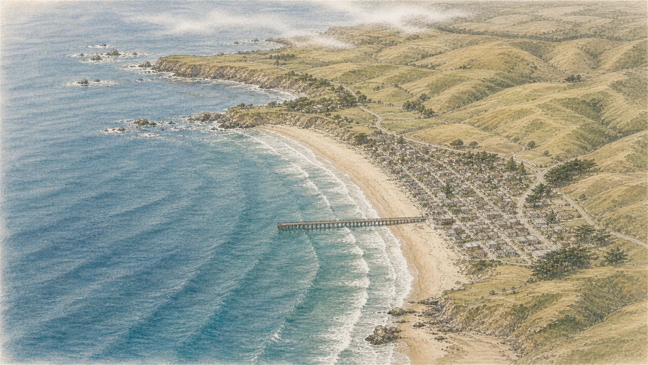
Estero Bluffs
9 kt · gust 10 · WNW
Cayucos Pier
6 kt · gust 6 · WSW
South Beach
6 kt · gust 6 · WSW
Outer swell
3.8 ft @ 10s
On the water
Wind's even along the coast this window — no calm side to pick.
Estero Bluffs
9 kt · gust 10 · WNW
Cayucos Pier
6 kt · gust 6 · WSW
South Beach
6 kt · gust 6 · WSW
Outer swell
3.8 ft @ 10s

Central Coast
Carmel Beach