


1
Point Lobos
Loading destination. Pulling the current destination verdict. This detail route is still resolving live conditions, scoring evidence, and fallback guidance.

Central Coast
01 · The call
Good with cautionWhy now
Point Lobos, Carmel beach walks, and Monterey backup plans work well before peak summer traffic.
Watch out
SR-1 One-Way Traffic near Carmel
Plan B
Keep the trip anchored around Carmel-by-the-Sea with a shorter loop through Carmel Beach and Scenic Road.
Why now
Point Lobos, Carmel beach walks, and Monterey backup plans work well before peak summer traffic.
Watch out
SR-1 One-Way Traffic near Carmel
Plan B
Keep the trip anchored around Carmel-by-the-Sea with a shorter loop through Carmel Beach and Scenic Road.
02 · The story

carmel cove guide
Carmel Coast is not the same product as Big Sur.
Photo: Brocken InagloryCC BY-SA 3.0Source
carmel cove guide
Carmel Coast is not the same product as Big Sur.
Photo: Brocken InagloryCC BY-SA 3.0Source
Field notes
04 · The window
05 · The conditions
Current weather
69F day, 58F night
1% chance of rain
8 mph wind
Nearest towns: Monterey · Carmel-by-the-Sea
Updated Aug 23, 2026, 12:12 PM
06 · On the ground
Access
Road and weather data checked Aug 23, 2026, 12:12 PM
Official alerts
Last checked
Aug 23, 2026, 12:12 PM
Bridge Work is affecting north / southbound travel on SR-1 from Carmel to Carmel. Long Term closure pattern.
Timber is an active wildfire roughly 26 miles from Carmel Beach. Current incident context: Monterey County, 8,665 acres, 25% contained. 4 Miles SE from Big Sur, CA
Next step
Sneaker waves and slick rocks. On the open coast, large waves can surge up the beach and over rocks without matching the smaller waves before them.
03 · Highlights
Point Lobos

Whalers Cove

Carmel Beach

Scenic Road

Pacific Grove Shoreline
Selected stop
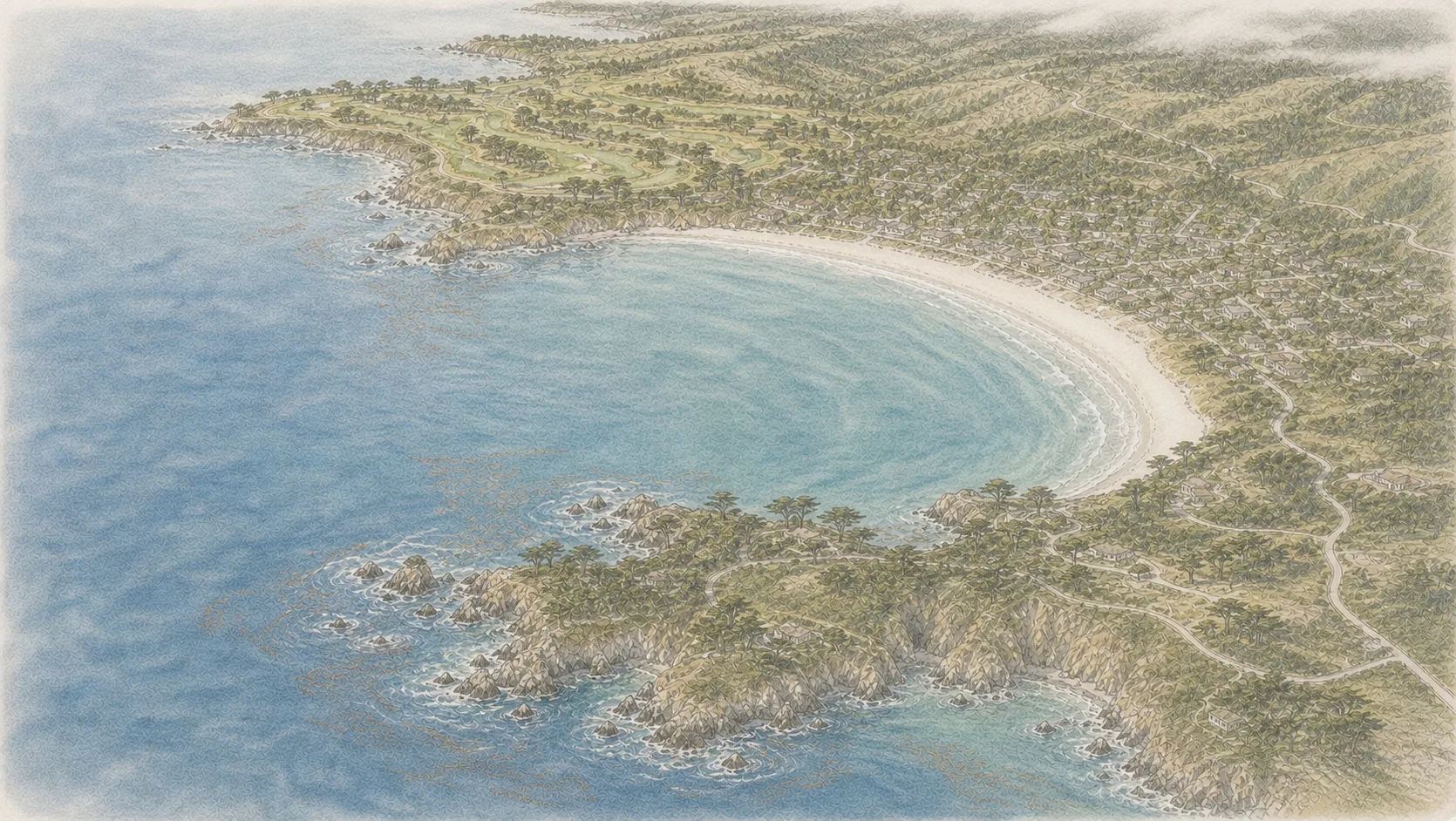
Carmel Beach
The easy town-side coast walk, best for golden hour, dog-friendly energy, and a soft landing after Point Lobos.
On the water
Carmel Beach
7 kt · gust 8 · WNW
River mouth
8 kt · gust 9 · W
Point Lobos
8 kt · gust 9 · W
Outer swell
4 ft @ 10s
On the water
Wind's even along the coast this window — no calm side to pick.
Carmel Beach
7 kt · gust 8 · WNW
River mouth
8 kt · gust 9 · W
Point Lobos
8 kt · gust 9 · W
Outer swell
4 ft @ 10s

Central Coast
Morro Bay