

.jpg%3Fwidth%3D1200&w=3840&q=75)
1
Point Sur Lighthouse
Loading destination. Pulling the current destination verdict. This detail route is still resolving live conditions, scoring evidence, and fallback guidance.

Central Coast
01 · The call
Good with cautionWhy now
Coastal weather is stable.
Watch out
SR-1 Alternating Lanes near Big Sur
Plan B
Keep the trip anchored around Carmel-by-the-Sea with a shorter loop through Point Lobos and Garrapata State Park.
Why now
Coastal weather is stable.
Watch out
SR-1 Alternating Lanes near Big Sur
Plan B
Keep the trip anchored around Carmel-by-the-Sea with a shorter loop through Point Lobos and Garrapata State Park.
02 · The story

Highway 1 coast guide
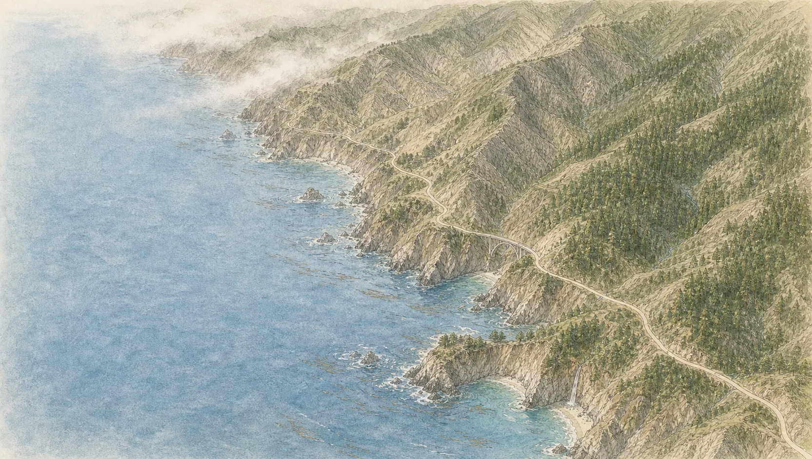
Big Sur sits on the most cinematic portion of California Highway 1, where the Santa Lucia Mountains drop hard into the Pacific and the road threads between cliff edge, redwood canyon, and wind-shaped headland.
Photo: dconvertiniCC BY-SA 2.0Source
Highway 1 coast guide
Big Sur sits on the most cinematic portion of California Highway 1, where the Santa Lucia Mountains drop hard into the Pacific and the road threads between cliff edge, redwood canyon, and wind-shaped headland.
Photo: dconvertiniCC BY-SA 2.0
04 · The window
05 · The conditions
Current weather
83F day, 61F night
1% chance of rain
7 mph wind
Nearest towns: Monterey · Santa Barbara
Updated Aug 24, 2026, 12:03 PM
06 · On the ground
Access
Before you go
Road and weather data checked Aug 24, 2026, 12:03 PM
Official alerts
Last checked
Aug 24, 2026, 12:03 PM
Bridge Work - Temporary Signal is affecting north / southbound travel on SR-1 from Big Sur to Big Sur. Long Term closure pattern.
Slide - Temporary Signal is affecting north / southbound travel on SR-1 from Carmel to Carmel. Long Term closure pattern. Estimated delay is about 15 minutes.
Next step
Field notes
Highway 1 is a cliff road that slides. Highway 1 here clings to sea cliffs up to 400 ft high and slides often; Caltrans closes stretches for landslides, sometimes for months.
Poison oak + ticks. Stay on trail around redwood and canyon areas.
03 · Highlights
Point Sur Lighthouse

Bixby Bridge

McWay Falls

Carmel-by-the-Sea

Hurricane Point
Selected stop
McWay Falls
One of the most recognizable coastal views in Big Sur, with a short overlook rhythm rather than a long hike.
Photo: King of HeartsCC BY-SA 3.0Source
On the water
North headland
11 kt · gust 12 · NNW
Cliff cove
7 kt · gust 7 · WNW
South cove
5 kt · gust 5 · W
Outer swell
4.1 ft @ 10s
On the water
Calmest water at South cove (5 kt); North headland runs rougher at 11 kt — launch on the calm side.
North headland
11 kt · gust 12 · NNW
Cliff cove
7 kt · gust 7 · WNW
South cove
5 kt · gust 5 · W
Outer swell
4.1 ft @ 10s
Timber is an active wildfire roughly 6 miles from Big Sur Coast. Current incident context: Monterey County, 12,115 acres, 25% contained. 4 Miles SE from Big Sur, CA
OAK is an active wildfire roughly 59 miles from Big Sur Coast. Current incident context: Santa Clara County, 1 acres.

Central Coast
Morro Bay